
In today’s era of rapid technological advancement, harnessing the power of available technologies is paramount for sustainable development. The fusion of satellite imaging, artificial intelligence (AI), machine learning (ML), and historical data offers a transformative opportunity to create a digital twin mirroring Earth’s vital resources.
By leveraging satellite imaging, we can obtain real-time, high-resolution data of various natural elements, from the sun’s radiation patterns to land usage and biodiversity distribution. AI and ML algorithms can then analyze this wealth of information, identifying trends, anomalies, and correlations that escape human observation.
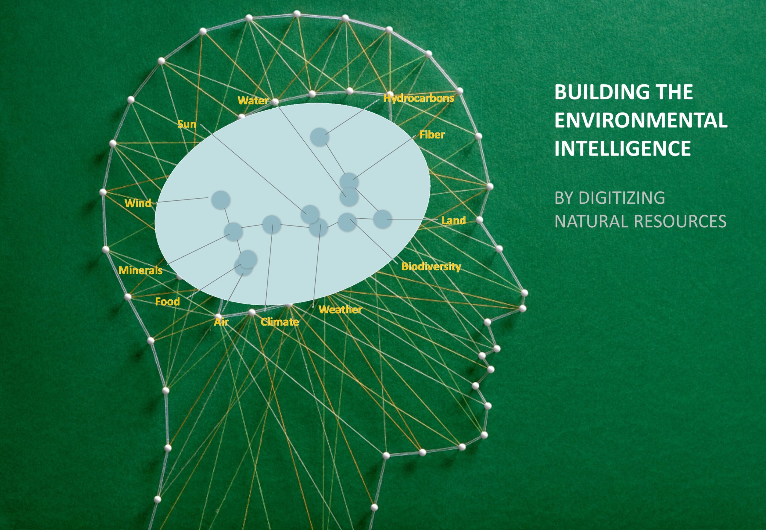
This digital replication encompasses the entirety of our environment, from the intricate dynamics of weather and climate to the exploration of hydrocarbons and minerals. It enables us to monitor air quality, predict natural disasters, optimize agricultural practices, and make informed decisions for resource management.
Through the digitization of natural resources, we not only enhance our understanding of the planet but also pave the way for proactive conservation efforts and sustainable utilization. As we continue to refine and expand this environmental intelligence, we empower ourselves to mitigate the challenges of climate change and foster a harmonious coexistence with our planet.